-
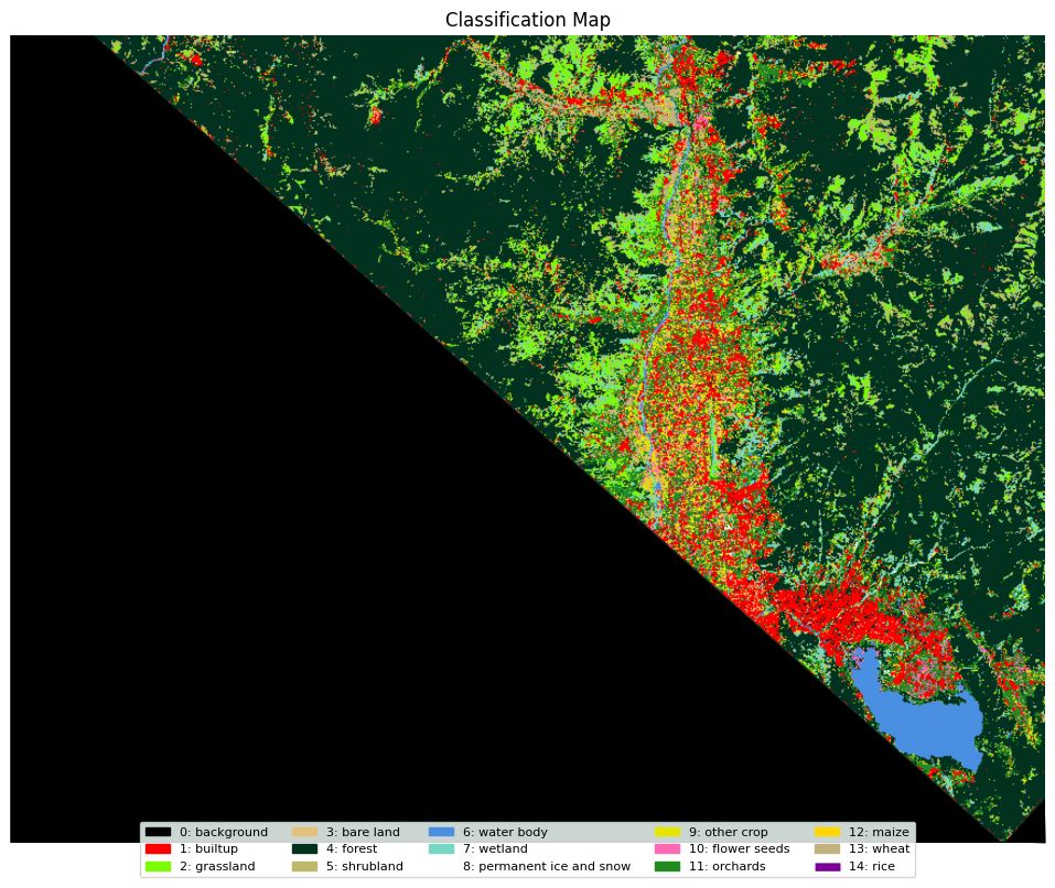 Comparative Analysis of Deep Learning Algorithms for Land Cover and Crop Type Mapping Using Limited Labeled Data in a Complex Region
 -
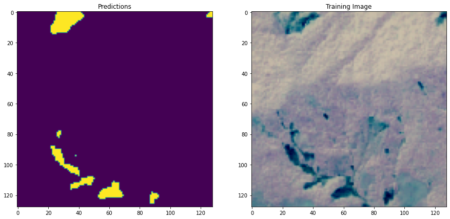 Landslide Detection Using AI and Satellite Imagery
 -
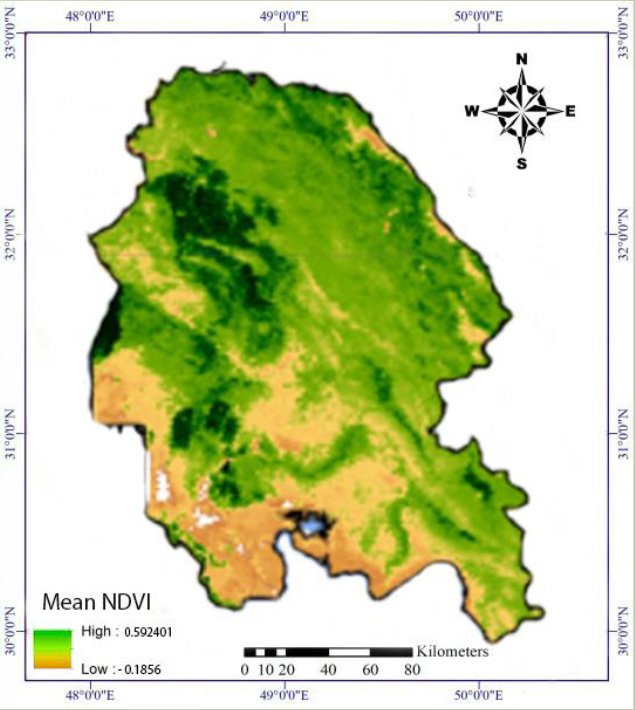 Application of multi-spectral indexes in monitoring temporal and spatial changes of vegetation using Modis satellite images in GEE system
 -
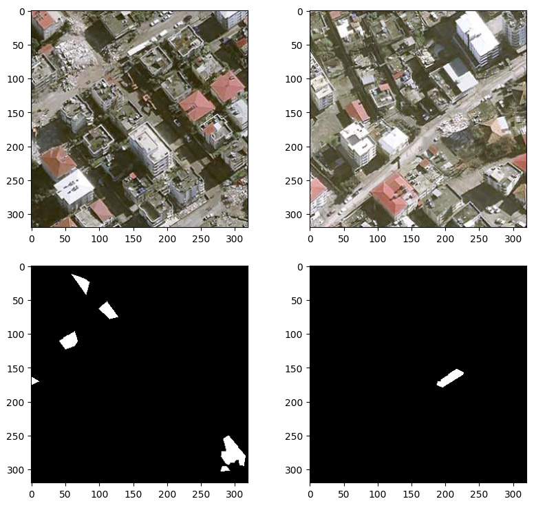 Post-earthquake road debris detection based on deep neural networks and post-event very high-resolution images
 -
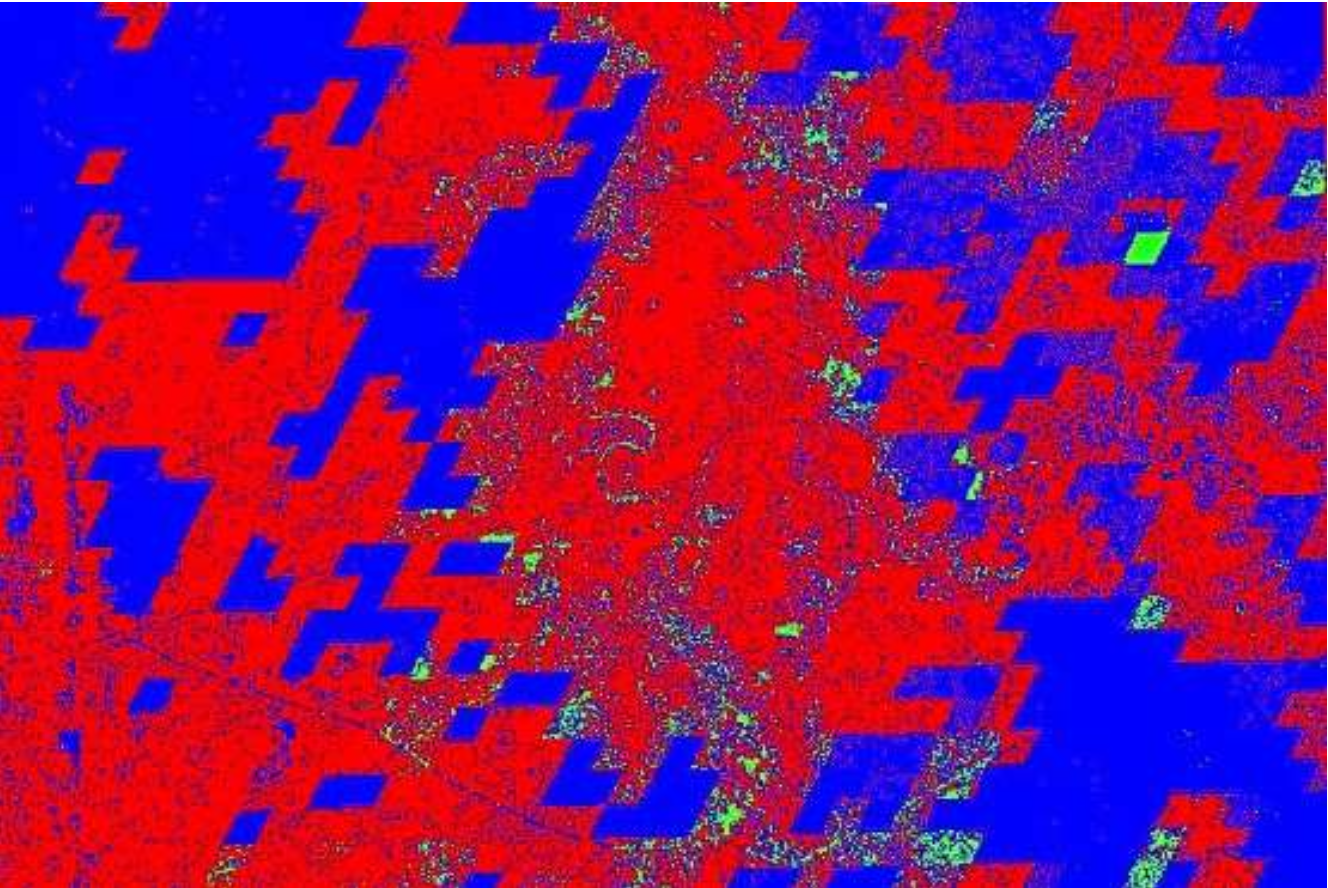 Generating soil moisture map using radar data and GEE (Google Earth Engine)
 -
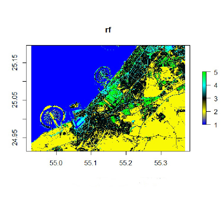 Classification of satellite images with vegetation based on photogrammetry and remote sensing in R programming
 -
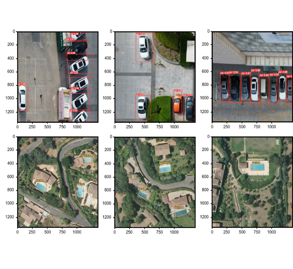 Object detection based on the model developed from deep learning networks, YOLOv5+ (Pytorch0) using remote sensing images with high spatial resolution
 -
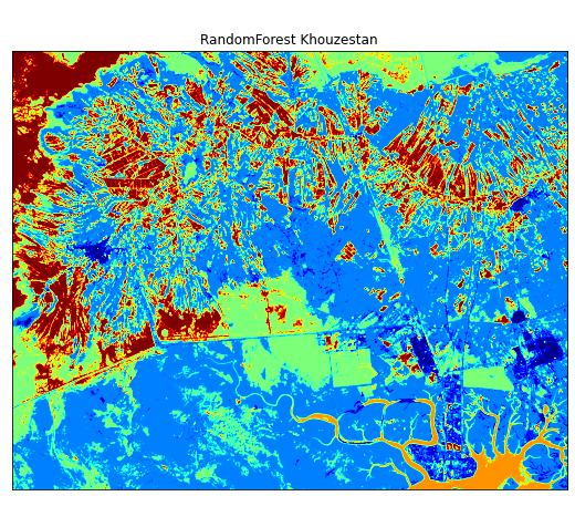 Analyzing the ability of maximum likelihood, support vector machine, and random forest algorithms in land use classification with the help of Google Earth ground truth data
 -
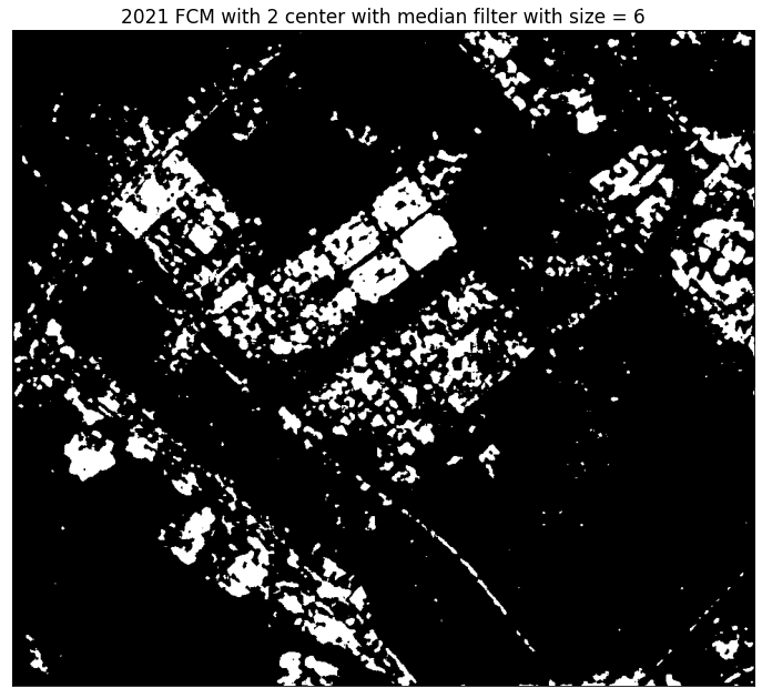 Analyzing changes in urban areas using images with the high spatial resolution