Project Title:
Classification of satellite images with vegetation based on photogrammetry and remote sensing in R programming
Project Description:
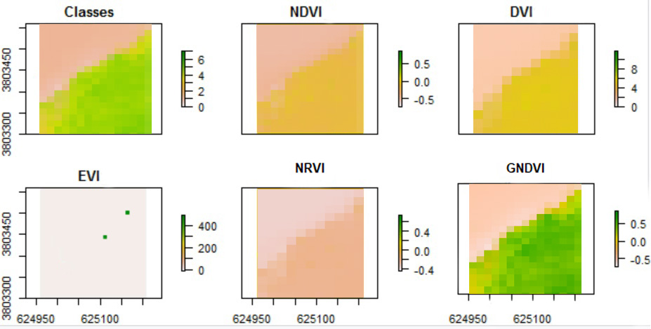
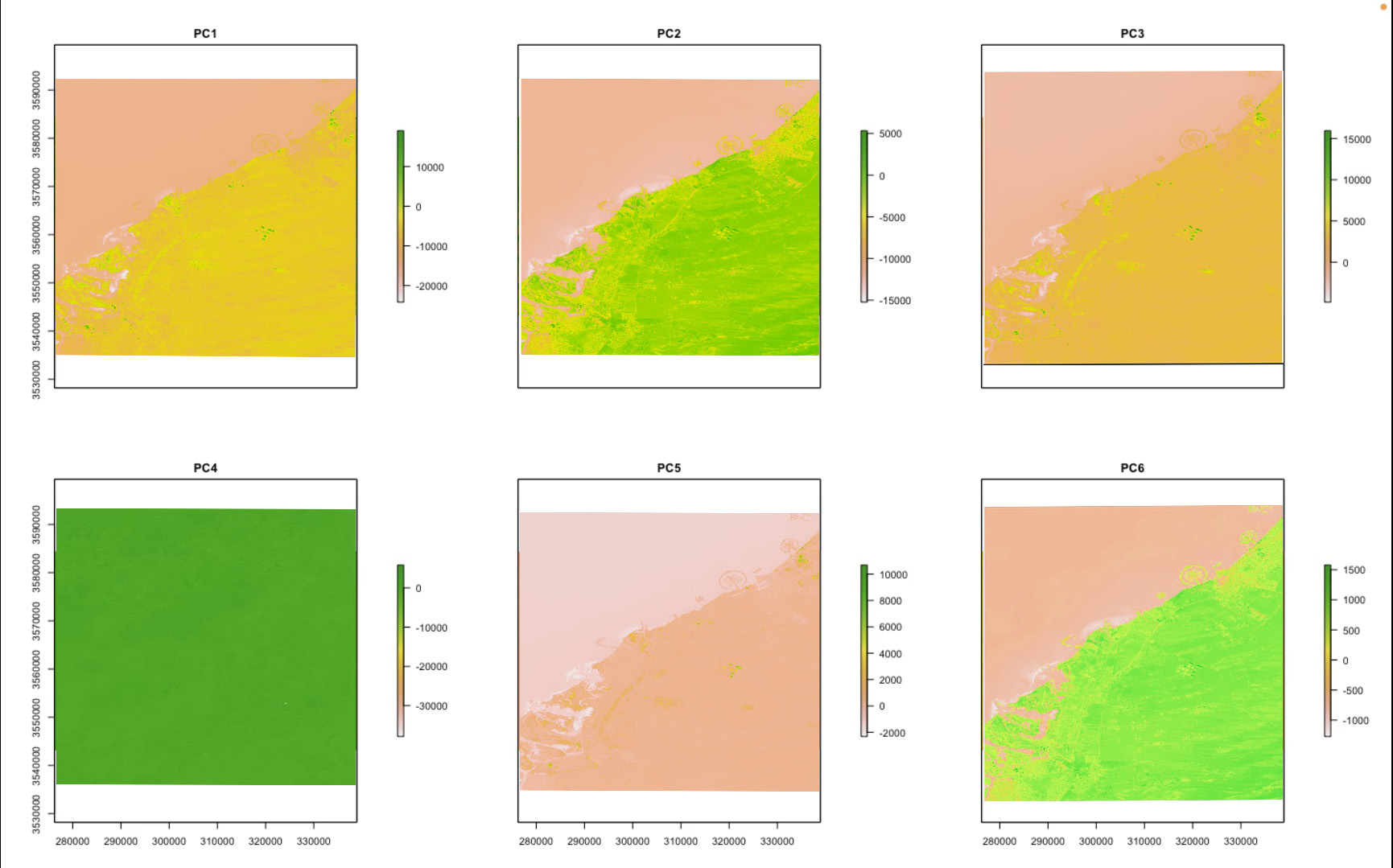
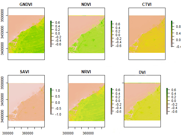
Within this project, our initial step involved the extraction of plant indices, including SR, NDVI, RVI, and GNDVI, among others. Subsequently, GLCM indices were computed based on the extracted data. Leveraging these indices, we proceeded to conduct classification using the random forest algorithm. To evaluate the accuracy of the classification results, various assessment criteria such as confusion matrix and cross-validation were employed.
Project Details:
- Industry : Class Project
- Tools : R Programming, GEE (Google Earth Engine)
- Date : 5 - 1 - 2023
- URL : https://drive.google.com/drive/folders/1tw8m9L0Ua7Q3bf_X7hBs7ZpGDILqogeq?usp=sharing