Comparative Analysis of Deep Learning Algorithms for Crop Type Mapping
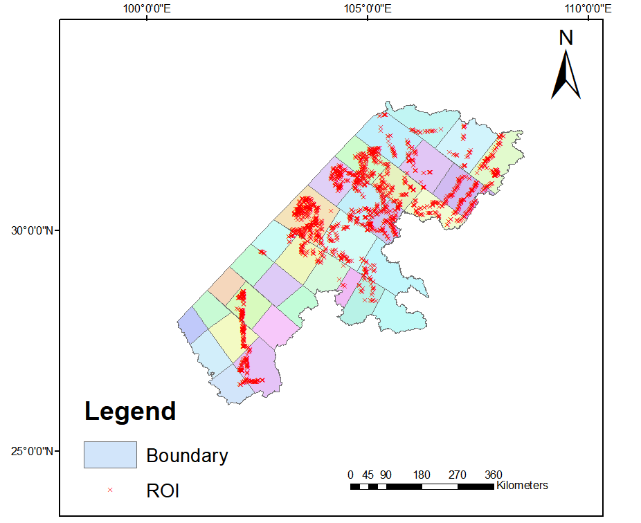
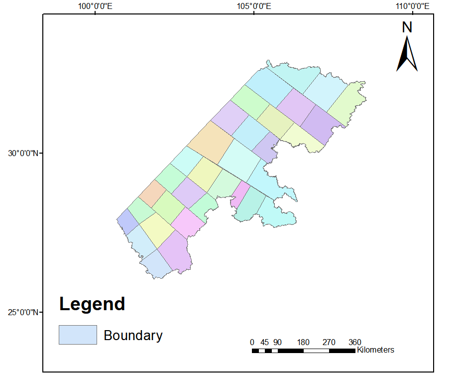
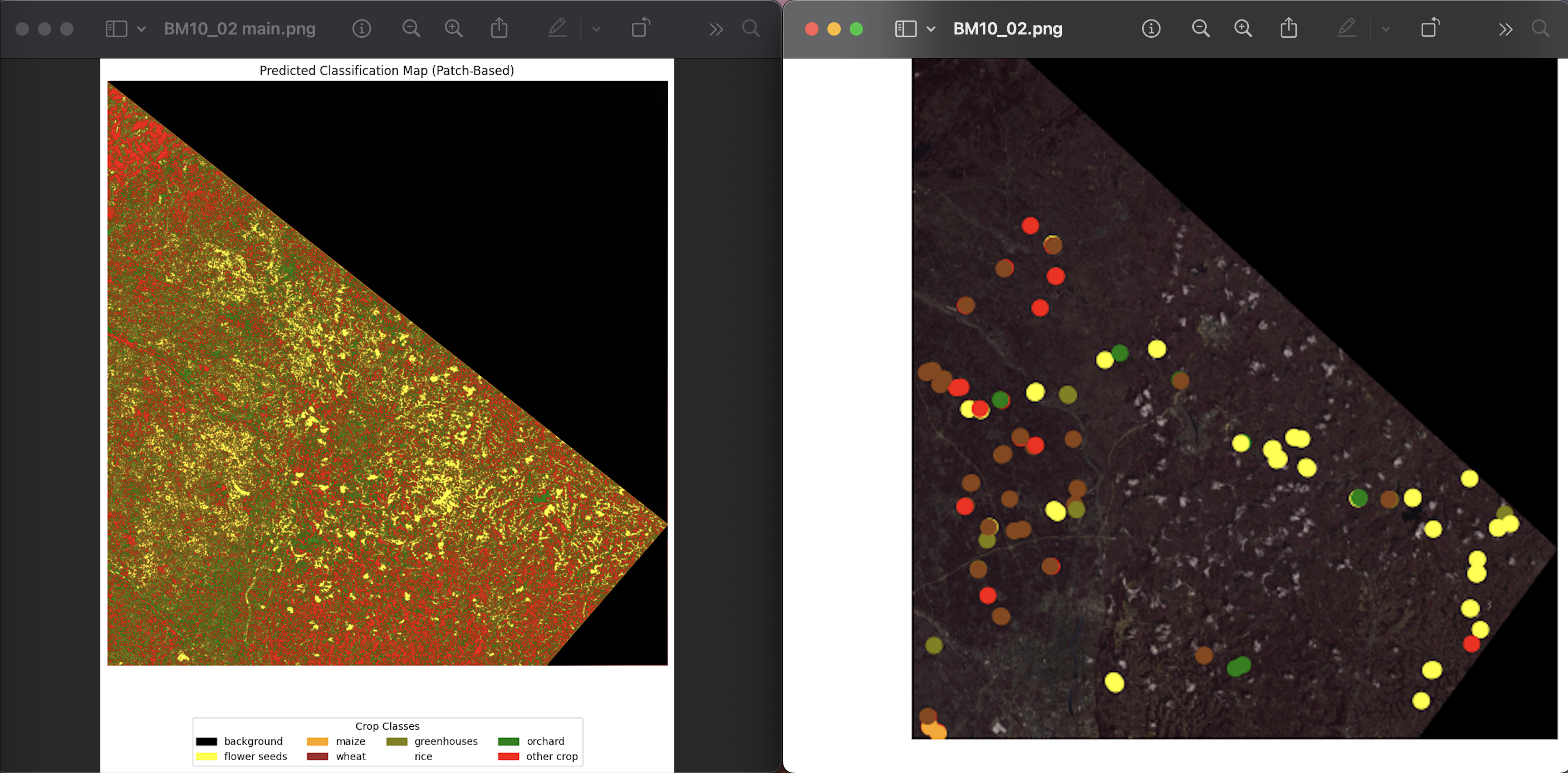
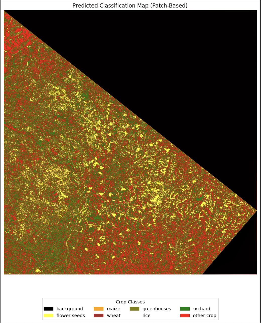
In this study we aim to classify crops on Big Data using satellite images and ROI ground truth based which are taken in the field. To be continued, we are implementing Deep Neural Networks (Unet, AttUnet, Unet++, and DeepLabV3+) for classifiying crops including six classes using Multi-Spectral Satellite images (23 bands including: ten Sentinel-2 spectral bands (B2, B3, B4, B5, B6, B7, B8, B8A, B11, and B12, two RADAR indices including difference index (VH/VV) and SAR ratio (VH/VH×VV) are extracted from Sentinel-1 images. On the other hand, nine Sentinel-2 based spectral indices including NDVI, EVI, GCI, NDWI, normalized difference infrared index (NDII), normalized difference red-edge index (NDRE), red-edge simple ratio vegetation index (RERVI), red-edge chlorophyll index (Cire), and red-edge re-normalized difference vegetation index (RERDVI) has been added to our data).
- Industry : Working Projects
- Tools : Python (Colab) , ENVI, ArcGIS
- Date : 5 - 5 - 2025
- URL : #